SkyView
The world, with another layer of context.
View source40.7128° N
74.0060° WGEOSPATIAL SYSTEM ILLUSTRATION
01 / The problem
Flight traffic, airports, landmarks, and environmental feeds make more sense when they share a spatial frame.
02 / The build
A browser-based 3D globe built with Vite and Cesium over Google Photorealistic 3D Tiles. It layers flight traffic, airports, landmarks, and optional weather and satellite feeds.
Read the public source03 / The takeaway
The globe gives separate data layers a common interface. The public repository documents the implementation.
The interface, on record.
Public repository screenshots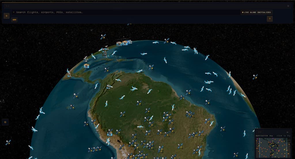
SkyView globe with aircraft and satellite markers. Public repository screenshot.
Screenshot sourceRepository images document the pictured interface; they do not establish current live data availability.